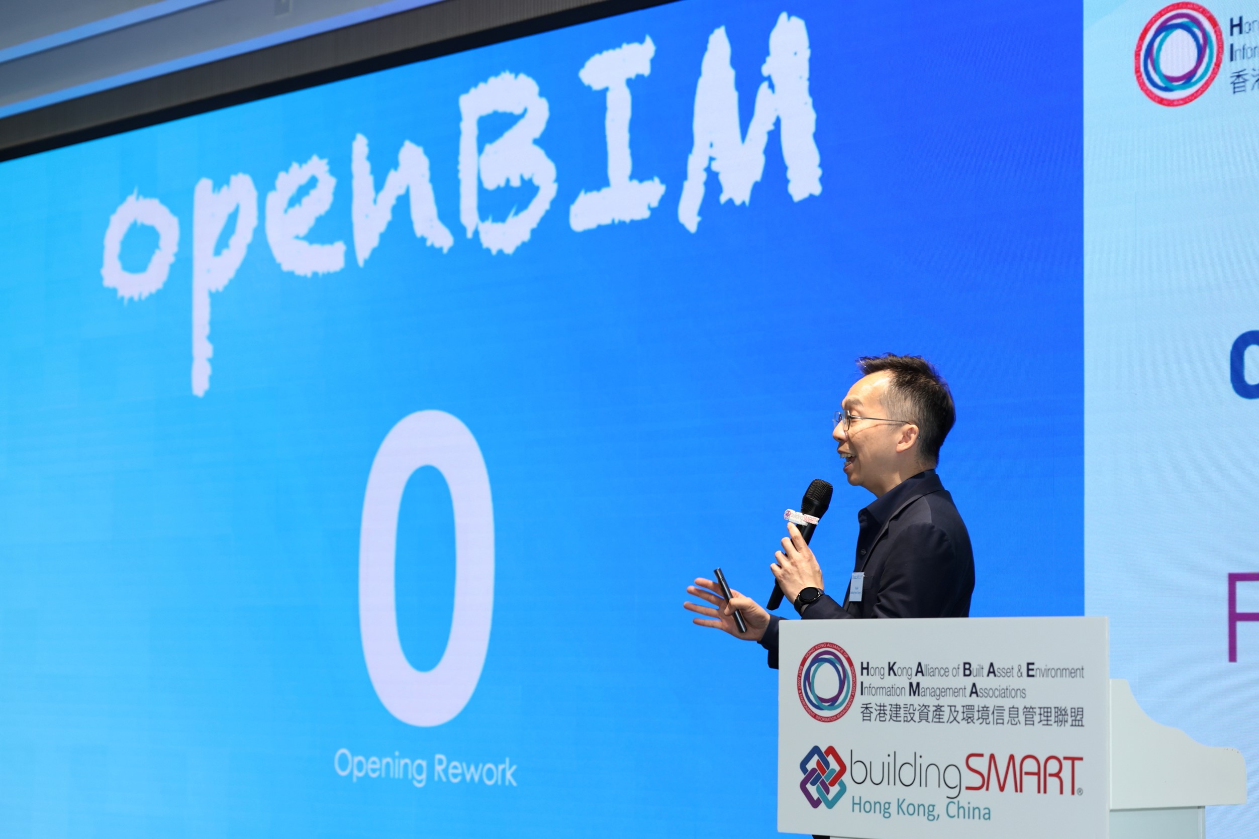
Delivering openBIM for everybody, everywhere across a 6.7 million sq ft mixed-use development — achieving zero MEP rework and resolving over 4,600 issues before construction.
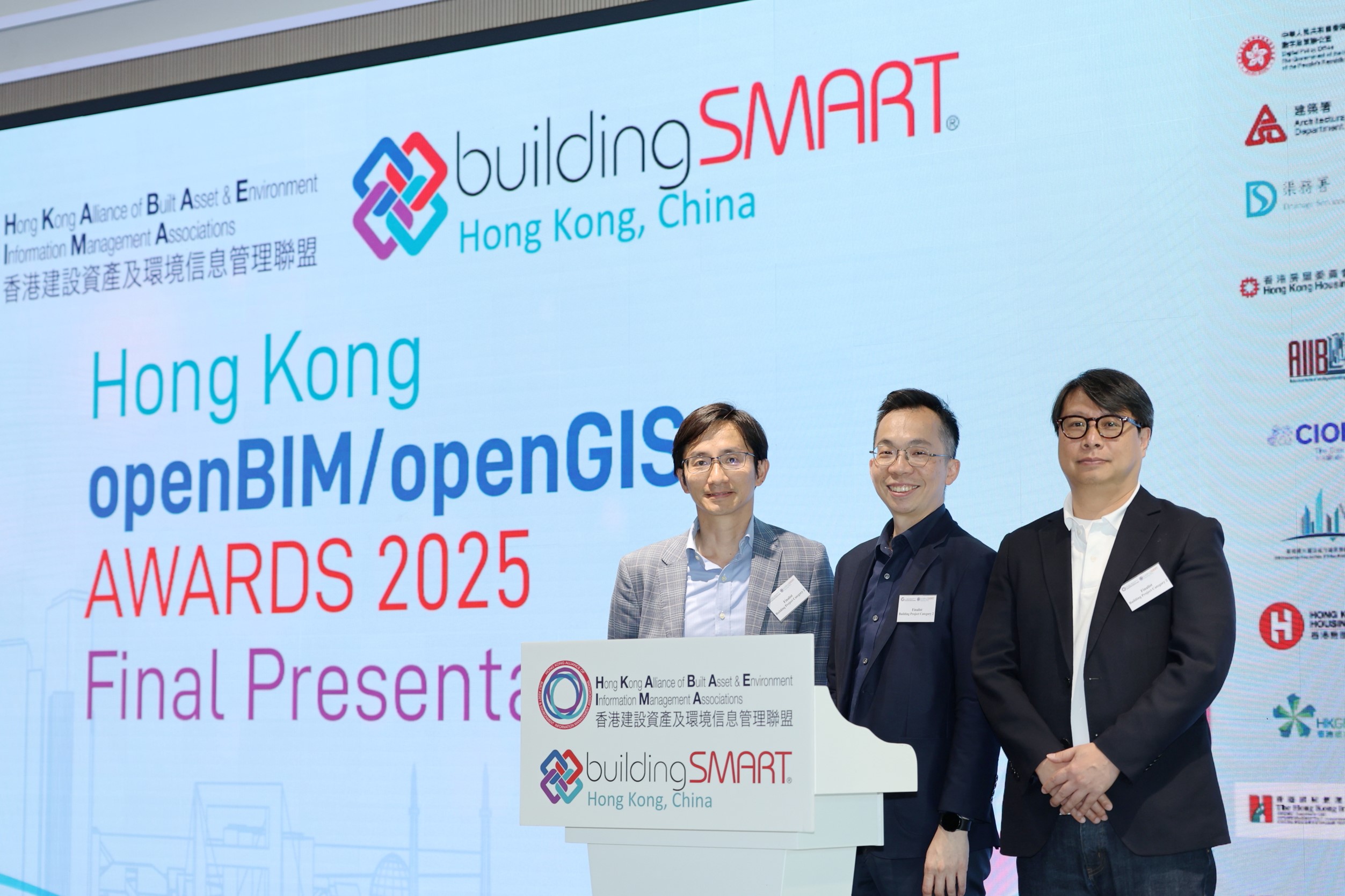
The Sai Sha development in Tai Po became a landmark demonstration of inclusive, interoperable openBIM delivery — uniting over a dozen stakeholders across multiple software ecosystems and earning the Merit Award at the 2025 Hong Kong openBIM/openGIS Awards.


Impacts & Benefits
Merit Award — Project Category, Hong Kong openBIM/openGIS Awards 2025
Zero MEP opening rework achieved across key construction phases
4,600+ issues detected and resolved prior to construction via IFC-based checking
5,000+ IFC models exchanged across a 12+ stakeholder project team
500+ interior design iterations completed using open standards workflows
Multiple software ecosystems integrated without model re-authoring (Revit, SketchUp, Rhino, Blender)
Geospatial intelligence deployed via drones and GIS for view analysis and site planning
Early site electrification and low-carbon concrete reducing environmental footprint
Approach
Working alongside Sun Hung Kai Properties and Sanfield Management Ltd., SBI guided the openBIM delivery strategy across one of Hong Kong's most complex and ambitious mixed-use developments — a 6.7 million square foot transformation encompassing residential towers, road infrastructure, a welfare centre, and the community sports and recreation hub Go Park Sai Sha. The project's defining challenge was coordinating a highly diverse project team — architects, engineers, interior designers, and landscape architects — operating across incompatible software versions and varying levels of BIM maturity. By anchoring the workflow in IFC and BCF open standards and an open Common Data Environment, SBI enabled full participation across all teams without requiring costly software upgrades or model re-authoring. A BIM-first construction protocol ensured no concreting proceeded until federated BIM reviews were completed and signed off by all major parties — directly delivering the project's landmark achievement of zero MEP rework. Solibri's IFC-based checking tools facilitated early detection of over 4,600 issues across clash, compliance, and quality dimensions. Geospatial tools including drones and GIS further enriched decision-making on views, terrain, and site constraints — an early integration of openBIM and openGIS principles at scale.

"This project proves that open standards aren't just a technical choice — they're an inclusive one. With IFC and BCF, we brought every stakeholder to the same table, regardless of their tools or experience level."
Products & Services
-
01
Open Standards, Lean & VDC Advisory and Training
openBIM Delivery Strategy
IFC & BCF Workflow Implementation
Common Data Environment (CDE) Setup
BIM Coordination & Federation
IFC-Based Quality & Compliance Checking
openGIS & Geospatial Integration